
Jeff Goldblume posted an update in the group
 Product 7 months, 4 weeks ago
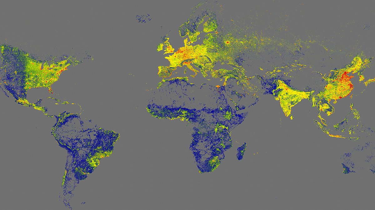
Scientists In Germany Released The GlobalBuildingAtlas, The Most Detailed 3D Map Of Earth’s ~2.75B Buildings At 3×3m Resolution, Surpassing The Earlier ~1.7B Map. It Improves Coverage In Underserved Regions, Aiding Urban Planning, Climate & Disaster Research; Adds A “Building Volume Per Capita” Metric, & Is Openly Available Under CC BY 4.0.
 With the GlobalBuildingAtlas, a research team at TUM has created the first high-resolution 3D map of all buildings worldwide.
Recent posts
- When How environmental cues trigger remembered actions July 14, 2026
- The 52 Fastest Animals in the World: Nature’s Ultimate Speed Guide January 8, 2026
- Ultimate Guide To Rainbow Colors: Order, Science, History, And More December 22, 2025
- Noise Vs. Stealth: The World’s 10 Loudest Submarines, Featuring Type 094 Submarine Operations in China December 16, 2025
- Top 17 World’s Biggest Spiders: Giants Of The Arachnid Kingdom December 11, 2025


